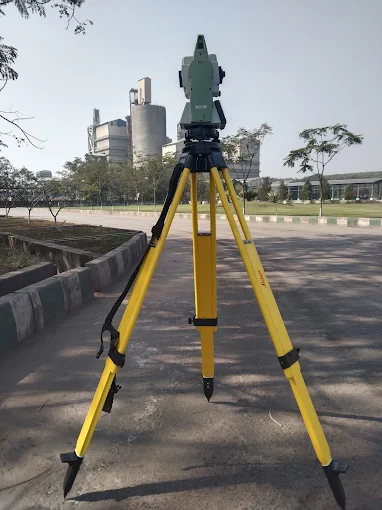
Welcome to Compass Engineering Surveyor in Raigarh GPR (Ground Penetrating Radar Survey)
DGPS Surveyors Drone Survey Land Surveyors Topographic Survey National Highway Survey Powerline Monitoring Survey Solar Plant Inspection & Survey Road Survey Smart City Survey Pipeline Survey Contour Survey DPR Survey Hydrographic Survey GPR Survey DGPS Surveyors Drone Survey Land Surveyors Topographic Survey National Highway Survey Powerline Monitoring Survey Solar Plant Inspection & Survey Road Survey Smart City Survey Pipeline Survey Contour Survey DPR Survey Hydrographic Survey GPR Survey

BUILT IN BHARAT. BUILT FOR BHARAT. READY FOR THE WORLD.

WHO ARE WE
Defining the
Next Frontier
in Autonomous Defense

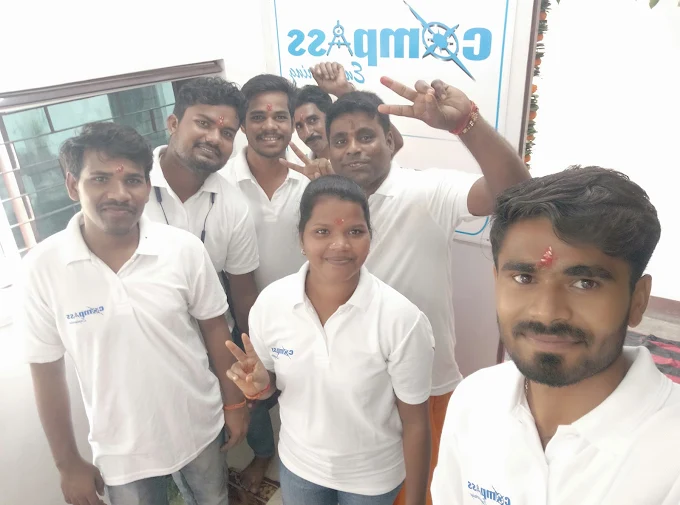
Compass Engineering is a trusted land surveying company located in Beladula, Raigarh, Chhattisgarh, established in 2018. The company is known for providing accurate, reliable, and professional land surveying services for residential, commercial, industrial, and infrastructure projects.

With a strong focus on customer satisfaction and quality service, Compass Engineering has built a solid reputation in the surveying industry across Raigarh and nearby regions.

Built for Battle.
Ready for Deployment.

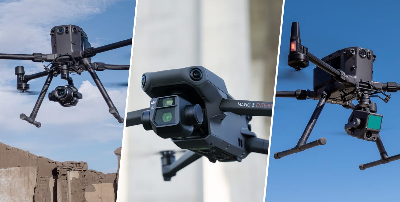
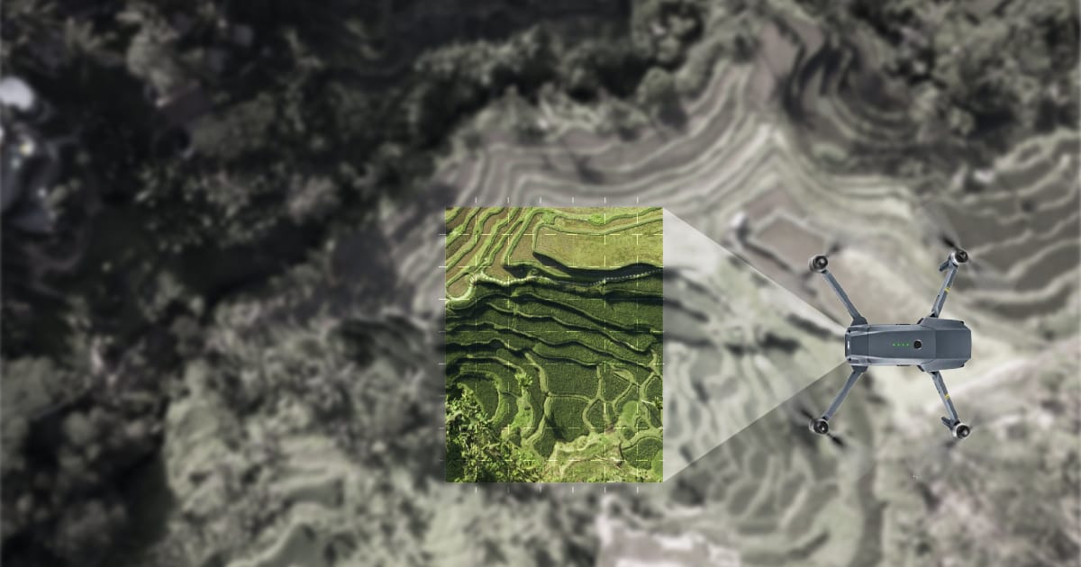
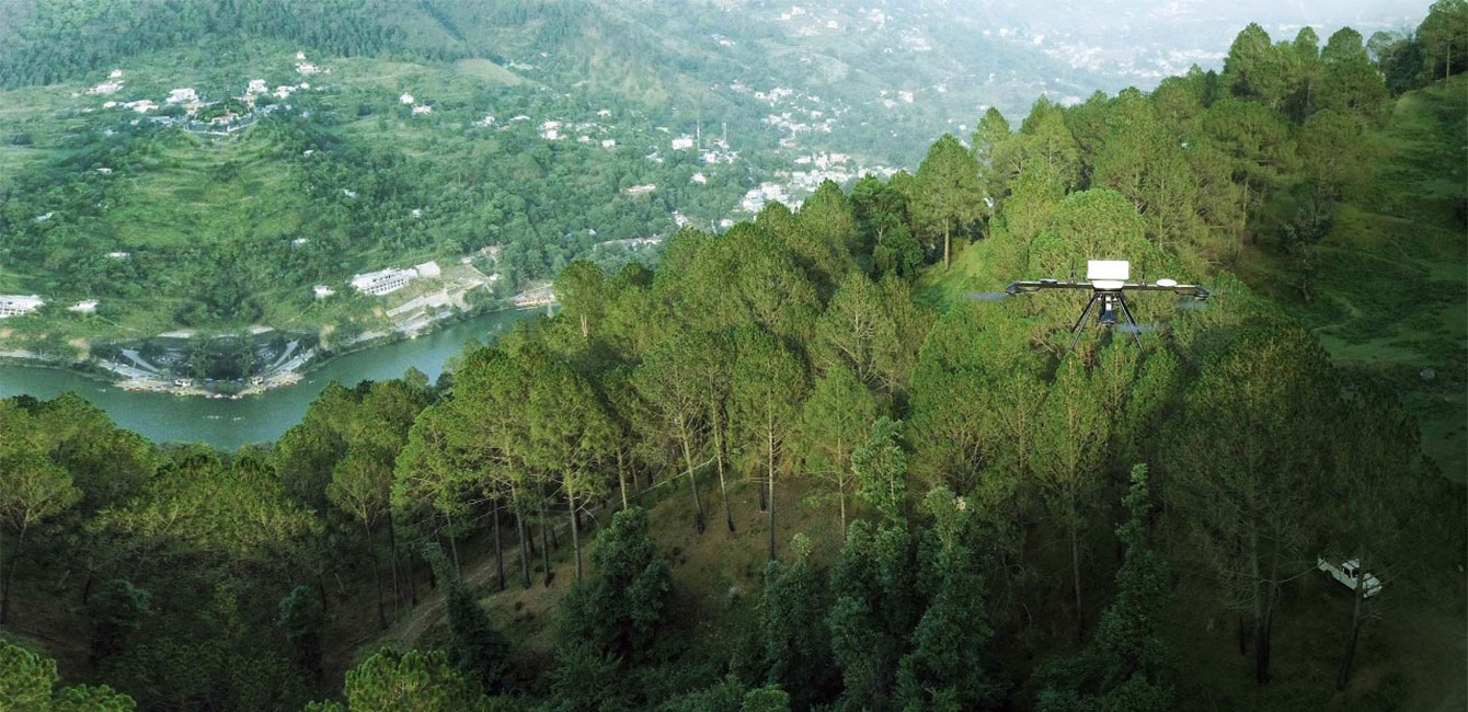
DRONES SURVEY

PONTETIAL APPLICATIONS

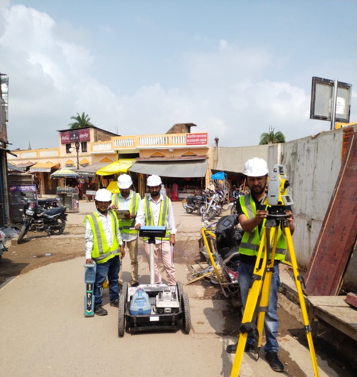
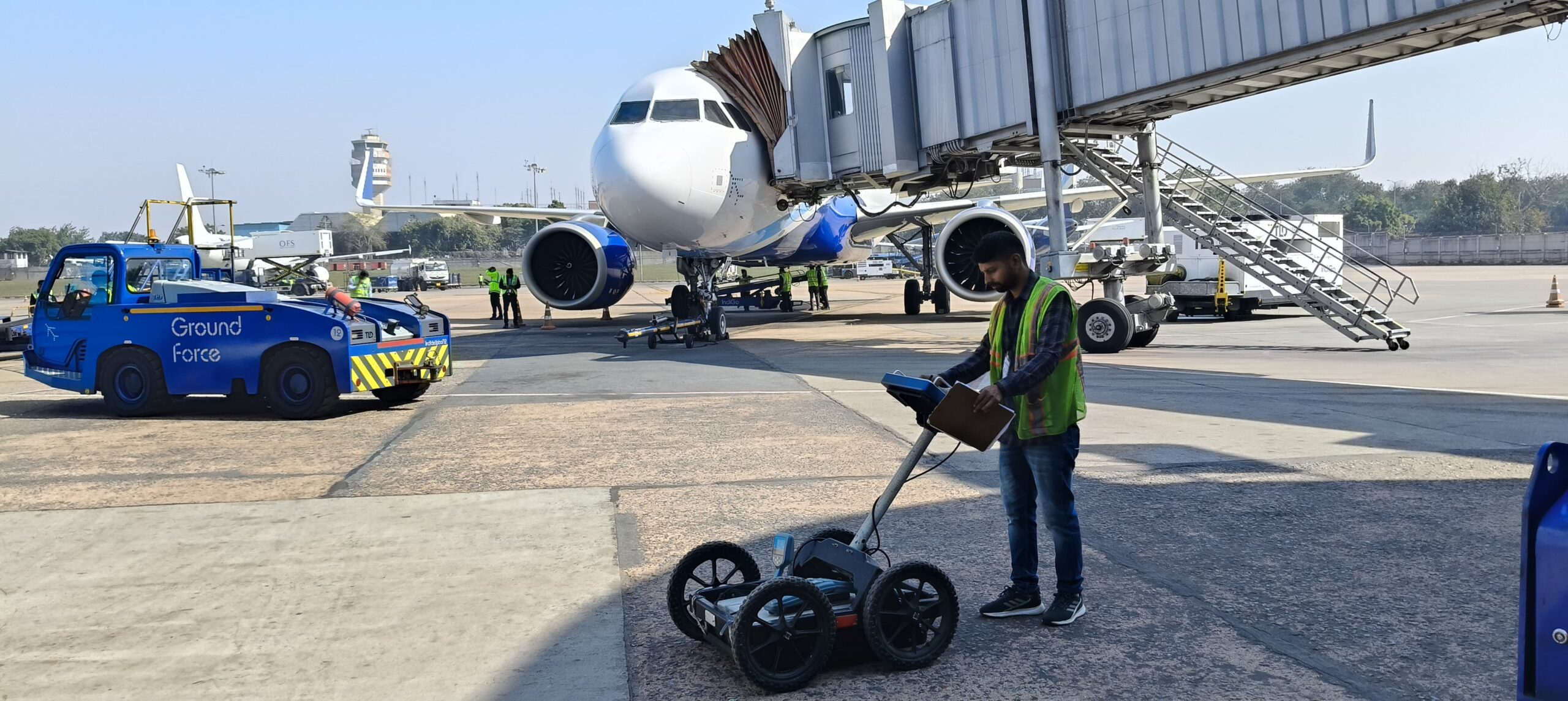
GPR is a high-resolution imaging radar that works on the principle of scattering of EM waves to locate buried objects. It operates by transmitting high frequency directly down into the ground via wideband antennas and detecting the reflected signals from targets (objects or materials with a dielectric contrast with the surrounding medium) buried beneath. It can be brought to use for the following applications:

Can be brought to use for both commercial as well as scientific applications.

GPR is an instrument that finds applications in environmental, engineering, archaeological, and other shallow investigations.

Different applications require subtle changes in the hardware (frequency selection) as well as the processing software. Therefore, once the exact application goal is defined the system can be tuned accordingly.
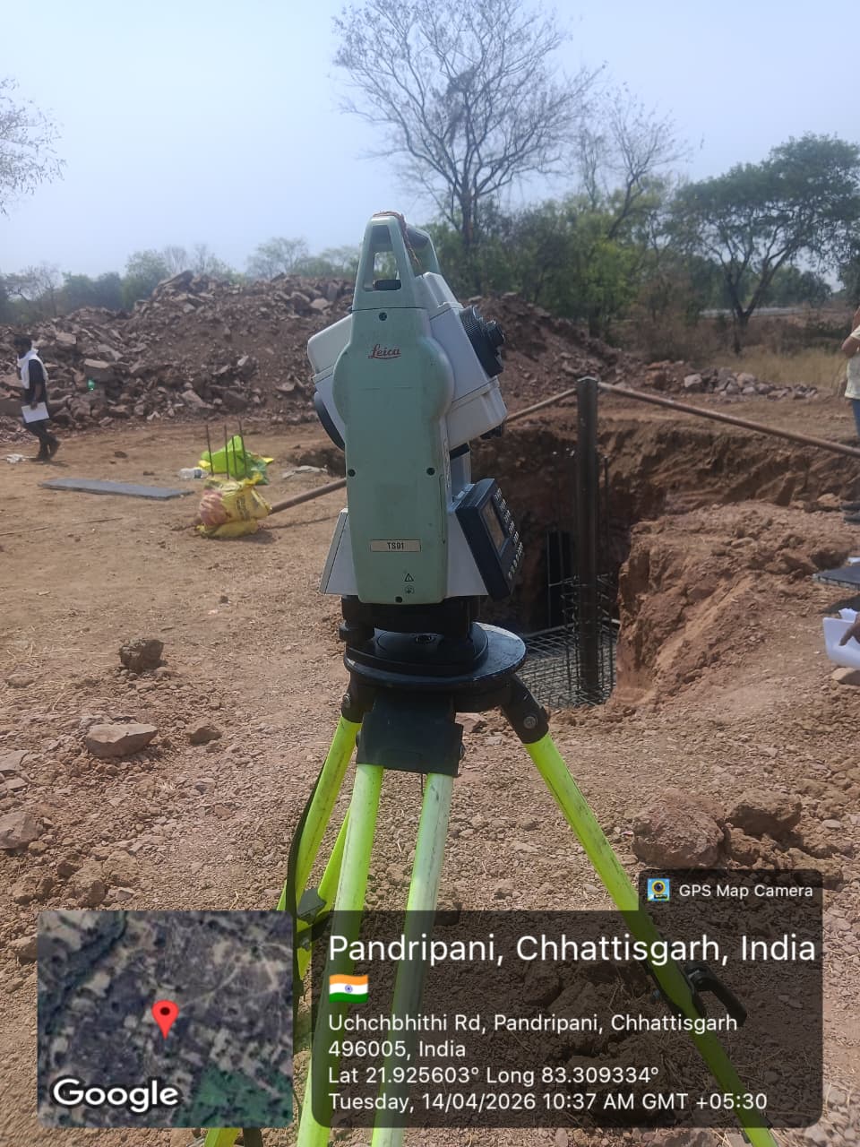
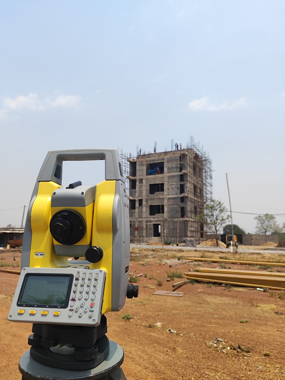
LAND SURVEYORS

NATIONAL HIGHWAY
SERVICES

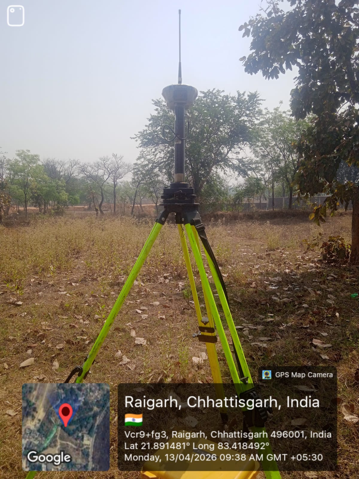
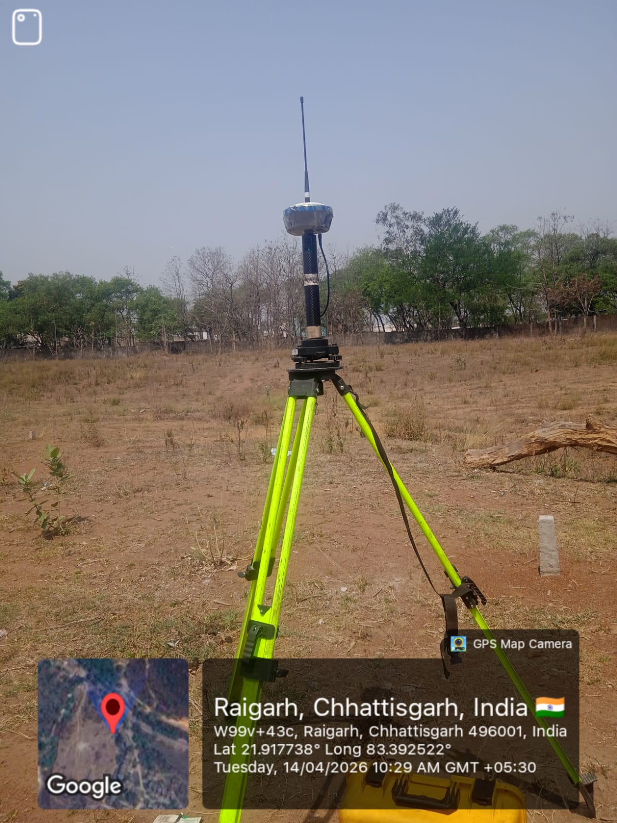
DGPS SURVEY

Services

GROUND PENETRATING
RADAR SURVEY

TOPOGRAPHIC
SURVEYORS

DGPS Survey

Bathymetric Survey
in Shallow Water

Bathymetric Survey
Application

Deep Water
Survey

SLAM100

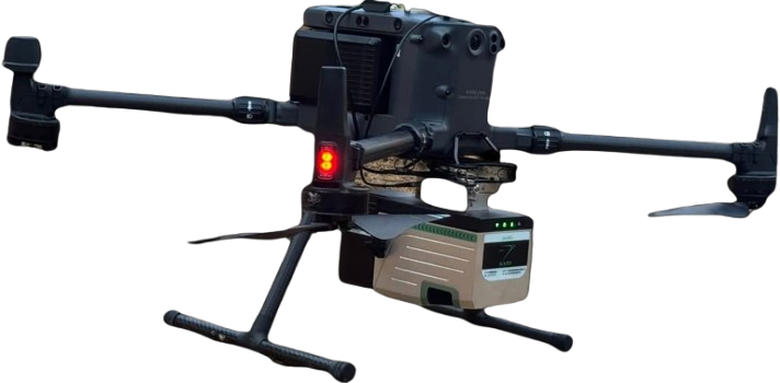
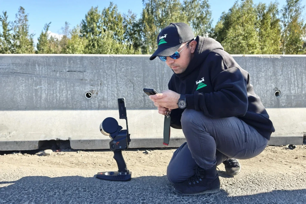
SLAM100 is a handheld mobile lidar scanner that captures high-precision 3D point cloud data. It’s known for its ability to operate without GPS or external light sources, making it versatile for both indoor and outdoor applications. The scanner is particularly useful for tasks like topographic surveying, underground space mapping, and construction planning.
Our Clients

Our Mission
For Bharat.
For Tomorrow.

Every Platform We Build is a Commitment: 

Compass Engineering is a leading land surveying and technical services company based in Raigarh, Chhattisgarh, delivering accurate and reliable survey solutions for infrastructure, residential, commercial, and industrial projects.

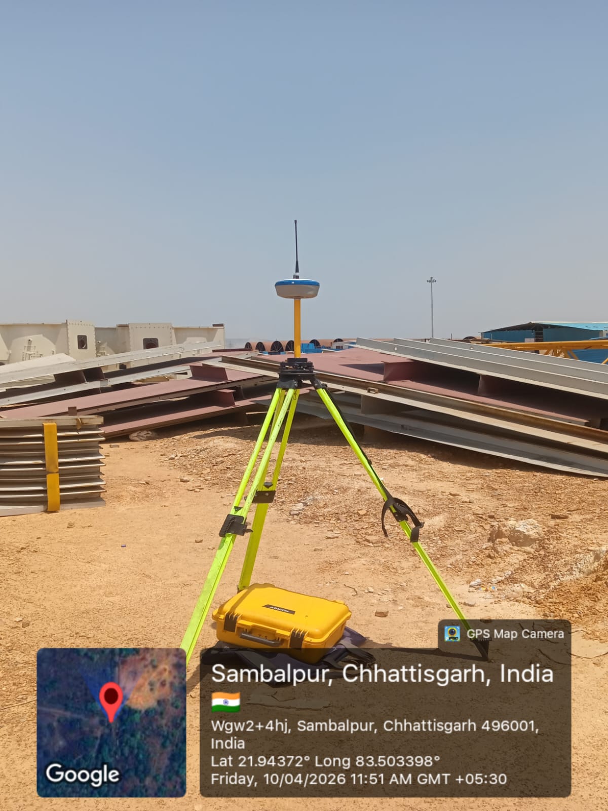
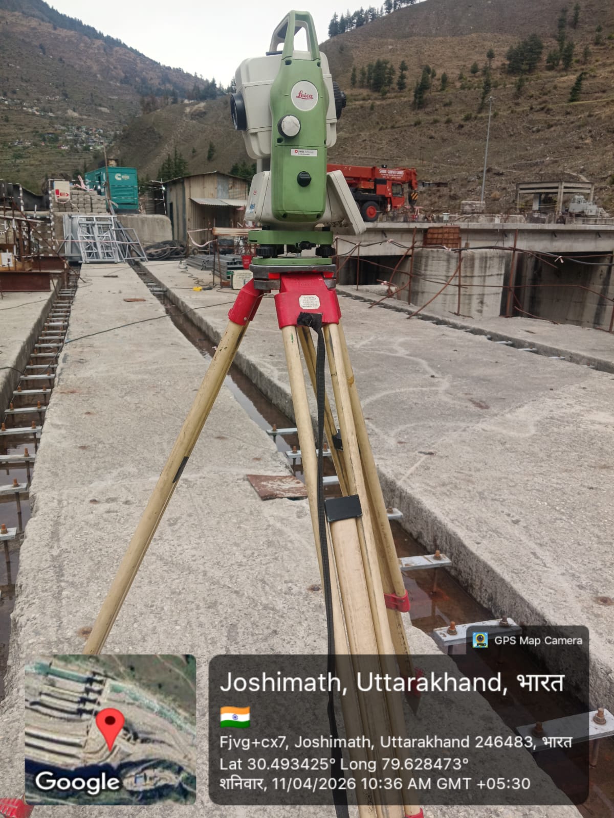
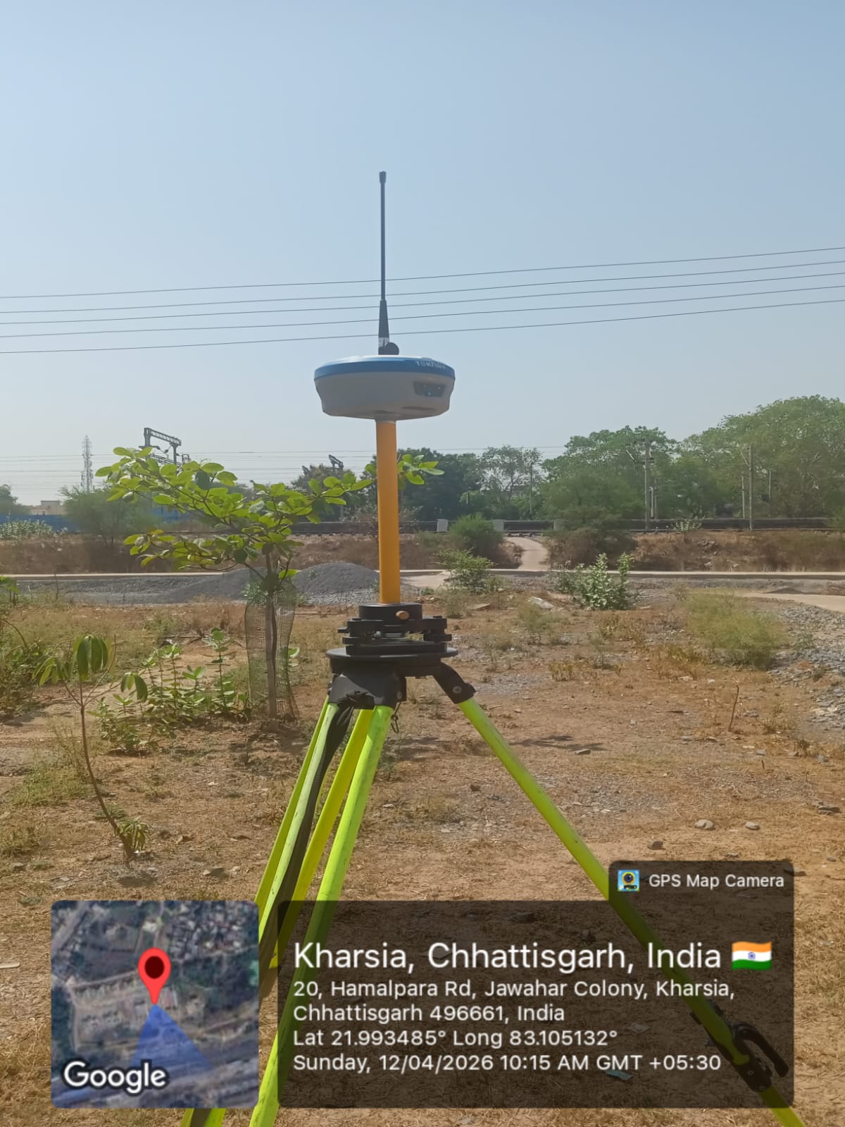
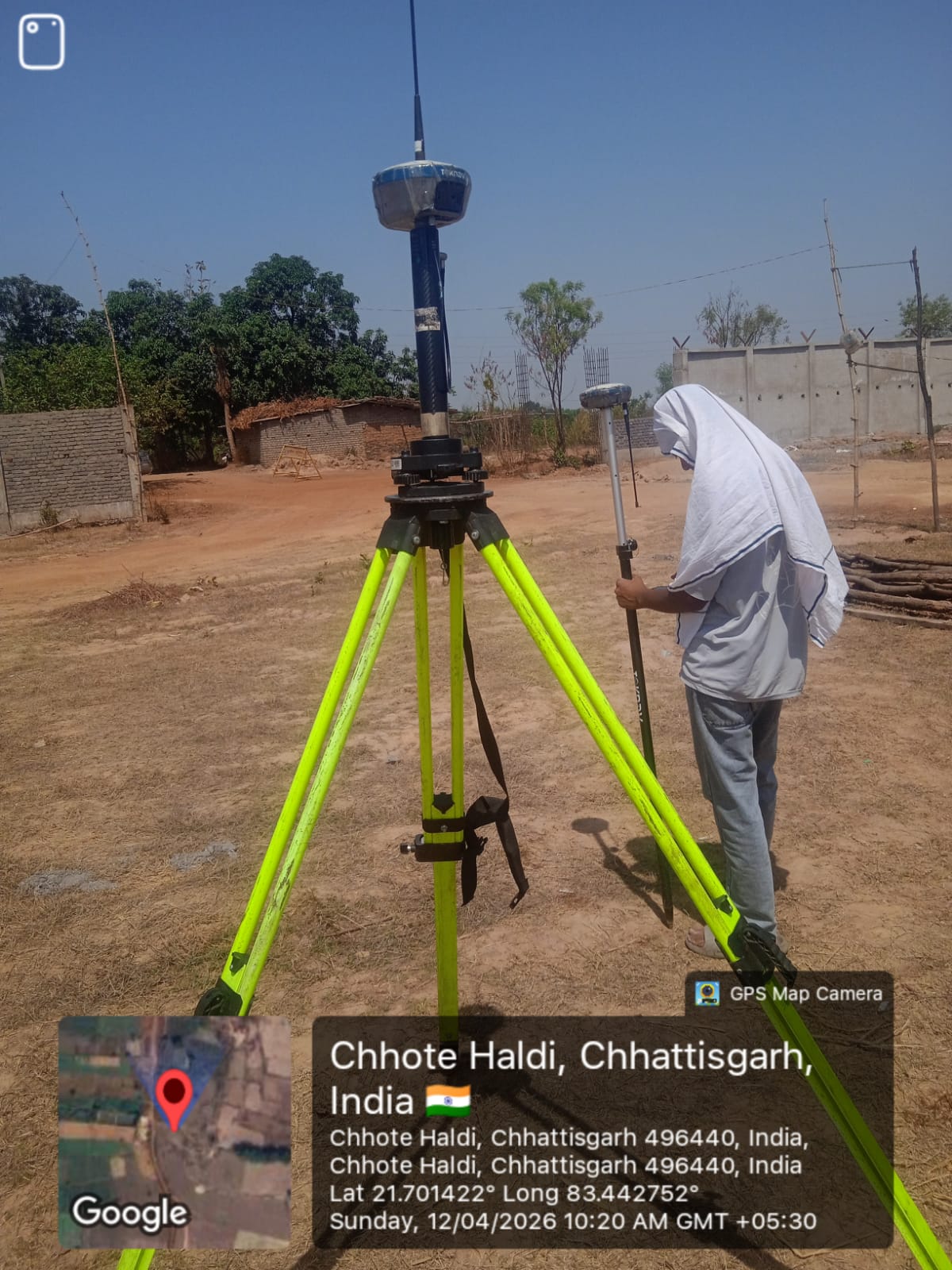
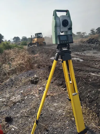
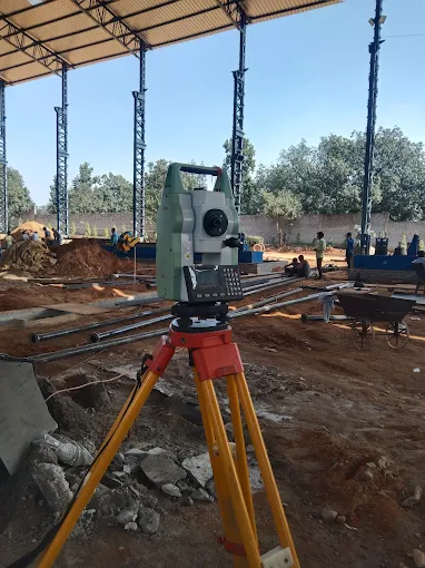
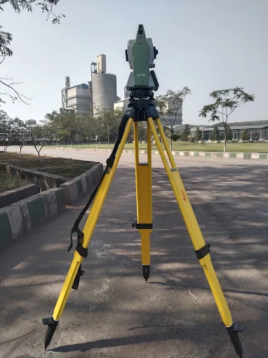
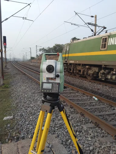
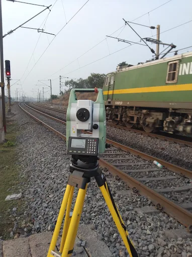
A focus on cutting-edge technology and efficient project management, the company offers a comprehensive range of services, including DGPS (Differential Global Positioning System) surveys, drone-based mapping, topographical surveys, and bathymetric (underwater) surveys.

Our Gallery

Scroll to Top